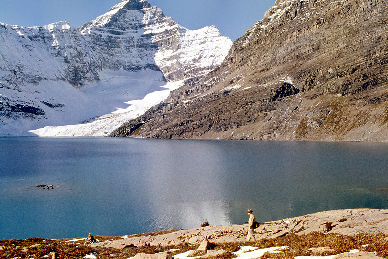
Gallery containing public domain photos of lakes, rivers and falls from the Canadian National Parks – Western Canada. Canada has an extremely large number of lakes. The number of lakes larger than three square kilometers is estimated at close to 31,752 by the Atlas of Canada, with 561 lakes with a surface area larger than 100 km2. Almost 9% (891,163 square kilometers (344,080 sq mi)) of Canada’s total area is covered by freshwater.


Wapta Falls is a waterfall located in Yoho National Park in British Columbia, Canada. It is the largest waterfall of the Kicking Horse River, at about 30 metres (98 ft) high and 150 metres (490 ft) wide. Its average flow can reach 254 cubic metres per second (9,000 cu ft/s). The name stems from a Nakoda Indian word meaning “river”.
The Yoho River originates at the north end of Yoho National Park and flows generally south to join the Kicking Horse River some distance northeast of Field. It begins at the toe of the Yoho Glacier and flows within 5.8 km from its source it has already received the waters of Waves Creek, Twin Falls Creek, Fairy Creek & the Little Yoho River. It continues south for another 4.4 km to its confluence with the stream Takkakaw Falls is on.


Little Qualicum Falls Provincial Park, which straddles the Little Qualicum River and incorporates the entire southern shore of Cameron Lake. Impressive waterfalls cascade down a rocky gorge in a beautiful forested setting bordered by steep mountain peaks at this park, one of the most beautiful parks on central Vancouver Island.
The falls, lake swimming, shaded riverside trails and picnic facilities make Little Qualicum Falls a very popular family recreation destination. A number of walking trails are available in and around the park, offering picturesque views of the river and providing access to the upper and lower falls.


Lake Louise is a hamlet in Alberta, Canada, the hamlet is named for the nearby Lake Louise, which in turn was named after the Princess Louise Caroline Alberta. The hamlet was originally called Laggan, and was a station along the Canadian Pacific Railway route. The hamlet is separated into two communities. The main community, referred to as The Village is at a lower elevation adjacent to the Trans-Canada Highway.
It has a small shopping centre, Samson Mall, which includes a park visitor centre, grocery store, bakery, deli, grill, bar and sporting goods store. The ski area, Lake Louise Mountain Resort, is located across Highway 1. The second community is at a higher elevation and is centered around the Chateau Lake Louise, adjacent to Lake Louise.
Moraine Lake is a glacially-fed lake in Banff National Park, 14 kilometres outside the Village of Lake Louise, Alberta, Canada. It is situated in the Valley of the Ten Peaks, at an elevation of approximately 1,885 m. The lake has a surface area of .5 square kilometres.
When it is full, it reflects a distinct shade of blue. The colour is due to the refraction of light off the rock flour deposited in the lake on a continual basis. The area around the lake has several walking/hiking trails which are, from time to time, restricted. The Rockpile Trail along the actual moraine is approximately 300 metres long, with an elevation change of 24 metres. The view of the lake from the top of the rockpile is one of the most photographed locations in all of Canada.