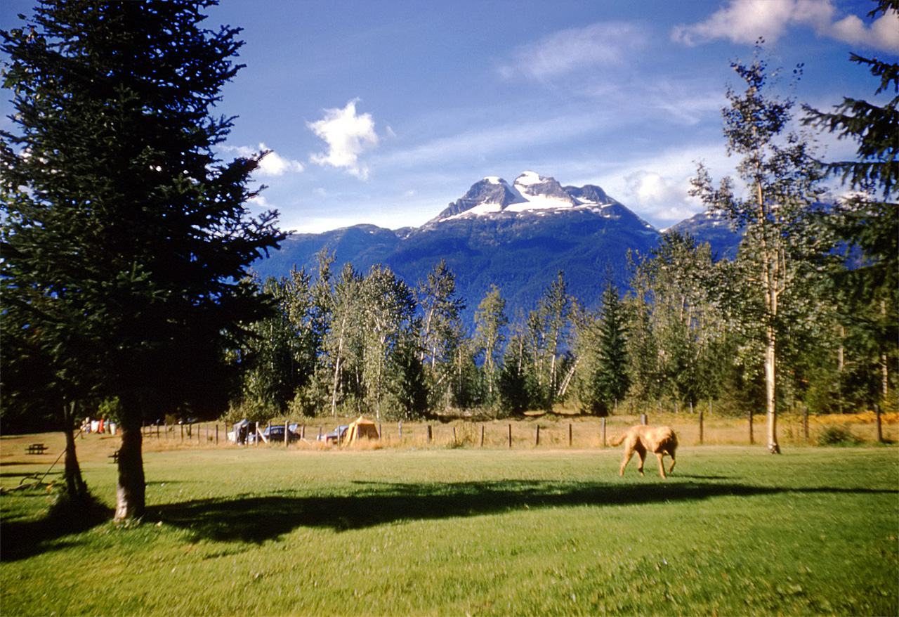
Gallery containing mountains and scenery (public domain) photos from Canada. Many of these photos are made by Dudley Foskett, and include locations such coast and fisheries in northern British Columbia and native villages. The vast majority of mountains in Canada lie in the western provinces of British Columbia and Alberta and the Yukon Territory.
Canada has an extremely large number of lakes. The number of lakes larger than three square kilometers is estimated at close to 31,752 by the Atlas of Canada, with 561 lakes with a surface area larger than 100 km2. Almost 9% of Canada’s total area is covered by freshwater.
Jasper National Park is the largest national park in the Canadian Rockies, spanning 10,878 km2. It is located in the province of Alberta, north of Banff National Park and west of the City of Edmonton. The park includes the glaciers of the Columbia Icefield, hot springs, lakes, waterfalls and mountains.
Minstrel Island, British Columbia, Canada, is located on Knight Inlet just east of Turnour Island. There is a government dock at the southeast side of the island bordering Chatham Channel.
Mount Arrowsmith is the largest mountain on southern Vancouver Island. Its dominant rock is basalt. The mountain is contained within a UNESCO Biosphere Reserve and as of September 18, 2009 is designated part of 1,300 hectare Mt. Arrowsmith Regional Park.
Mount Athabasca is located in the Columbia Icefield of Jasper National Park in Canada. The mountain was named in 1898 by J. Norman Collie, who made the first ascent on August 18 of that year. Athabasca is the Cree Indian name for “where there are reeds” which originally referred to Lake Athabasca.
One of the most prominent features of Mount Athabasca is a horned-shaped tip near the top called the “Silverhorn”. The Silverhorn is one of the easier routes to the summit but requires more caution and ability than the normal route because of blue ice and falling ice from other parties.
Mount Begbie is the prominent triple-peak mountain that towers over the city of Revelstoke. Nearby cities: Kelowna, British Columbia, Calgary, Alberta, Chilliwack.
Mount Cheadle, which is located in the Monashee Range of British Columbia, on the east flank of the North Thompson River, 25 km north of Blue River, is named after Cheadle. A small sub-urban town of Cheadle, located in Southern Alberta 20 km east of Calgary, was also named after Dr. Cheadle.
Mount Kitchener is a mountain located within the Columbia Icefield of Jasper National Park, which is part of the Canadian Rockies. The mountain can be seen from the Icefields Parkway near Sunwapta Pass.
Mount Temple is located in the Bow River Valley between Paradise Creek and Moraine Creek and is the highest peak in the Lake Louise area. The peak dominates the western landscape along the Trans-Canada Highway from Castle Junction to Lake Louise. On July 11, 1955, in one of Canada’s most tragic mountaineering accidents, seven American male teenagers were killed on the southwest ridge route.
A warm summer day had caused several nearby avalanches. They finally decided to turn back and during the descent, an avalanche swept 10 members of the party 200 m (656 ft) down the snowfield through a bottleneck of rocks.
Mount Stephen is a mountain located in the Kicking Horse River Valley of Yoho National Park. The mountain was named in 1886 for George Stephen, the first president of the Canadian Pacific Railway. The mountain is composed mainly of shales and dolomites from the Cambrian Period, some 550 million years ago. The Stephen Formation, a stratigraphical unit of the Western Canadian Sedimentary Basin was first described at the mountain and was named for it.
