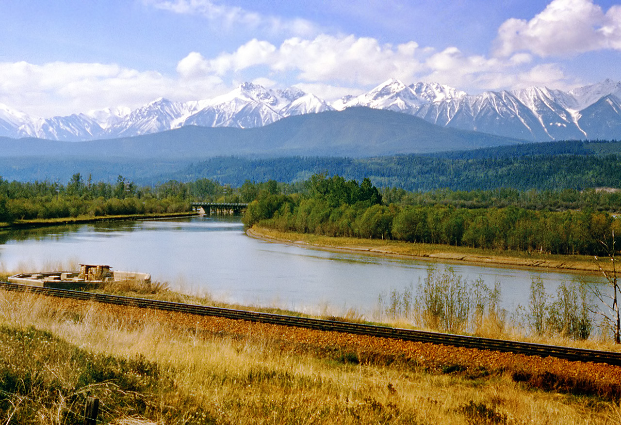
Gallery containing public domain photos of lakes, rivers and falls from the Canadian National Parks – Western Canada. Canada has an extremely large number of lakes. The number of lakes larger than three square kilometers is estimated at close to 31,752 by the Atlas of Canada, with 561 lakes with a surface area larger than 100 km2. Almost 9% (891,163 square kilometers (344,080 sq mi)) of Canada’s total area is covered by freshwater.
The Kicking Horse River begins at the outlet of small Wapta Lake and flows southwest. The river has three waterfalls along its stretch. The first is the Kicking Horse Cascade, a long talus cascade which occurs just below the first highway crossing of the river below Wapta Lake. The second is commonly photographed Natural Bridge Falls near Field.
The final and largest is 100 foot high Wapta Falls, one of the largest waterfalls in Canada in both volume and width. They are over 500 feet wide. The river is used by several whitewater rafting companies as well as Kayakers and Canoeists.
The Fraser Canyon is an 84 km landform of the Fraser River where it descends rapidly through narrow rock gorges in the Coast Mountains en route from the Interior Plateau of British Columbia to the Fraser Valley. The canyon was formed during the Miocene period (23.7-5.3 million years ago) by the river cutting into the uplifting Interior Plateau. The Fraser Canyon Highway Tunnels were constructed from the spring of 1957 to 1964 as part of the Trans-Canada Highway project. There are seven tunnels in total, the shortest being about 57 metres (187 ft); the longest, however, is about 610 metres (2,000 ft) and is one of North America’s longest.
The Fraser Canyon Gold Rush began in 1858 after gold was discovered on the Thompson River in British Columbia at its confluence with the Nicoamen River. Though the rush was largely over by 1860, miners from the rush spread out and found a sequence of other gold rushes throughout the British Columbia Interior and North, most famously that in the Cariboo.
The rush is credited with instigating European-Canadian settlement on the mainland of British Columbia. It was the catalyst for the founding of the Colony of British Columbia, the building of early road infrastructure, and the founding of many towns.
