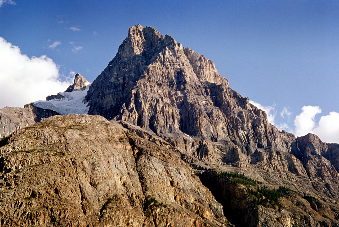
Gallery containing mountains and scenery (public domain) photos from the Canadian National Parks – Western Canada. The vast majority of mountains in Canada lie in the western provinces of British Columbia and Alberta and the Yukon Territory. Mountains can be found all over British Columbia while those in Alberta are mainly concentrated on the eastern side of the Canadian Rockies.
Lake O’Hara is a lake at an elevation of 2,115 m in the alpine area of Yoho National Park, in the province of British Columbia, on the western side of the Great Divide with the province of Alberta and Banff National Park to the east.
McArthur Lake is located in Northern Ontario, about 40 km south of the city of Timmins. It is located about 10 km south southeast of Papakomeka Lake. The lake consists of 13 islands, three main peninsulas and three main bays. McArthur Lake was discovered in the early 20th century and was named after its discoverer. McArthur would often stop by at a convenience store in Timmins.
He couldn’t pay for the items that he bought and promised to pay the shopkeeper back later. When McArthur could pay the man back, he offered him six claims on his newly discovered lake. The shopkeeper’s descendants still own these claims today.
Tocher Ridge, 2393m: Located between the Amiskwi River and the Otterhead River, Yoho Park, Major headwater Columbia River. In 1919 a permanent warden staff was implemented for Yoho National Park and preference was to be given to servicemen returning from the First World War.
Jock Tocher, a veteran, came to Field to visit his sister, fell in love with the mountains, and became one of this first group of wardens, serving until his retirement in 1960. Remembered as a teacher and one who cared deeply about his job and the park, he was honoured with the naming of this ridge.
Pilot Mountain is a mountain in the Bow River valley of Banff National Park in Alberta, Canada. It is located southeast of Redearth Creek and directly west of the Trans-Canada Highway. The mountain was named in 1884 by George M. Dawson, for its location is where the Bow Valley changes direction, thus affording distant views of the mountain all along the valley. Pilot Mountain can be scrambled on the northwest face by someone with good routefinding skills.
