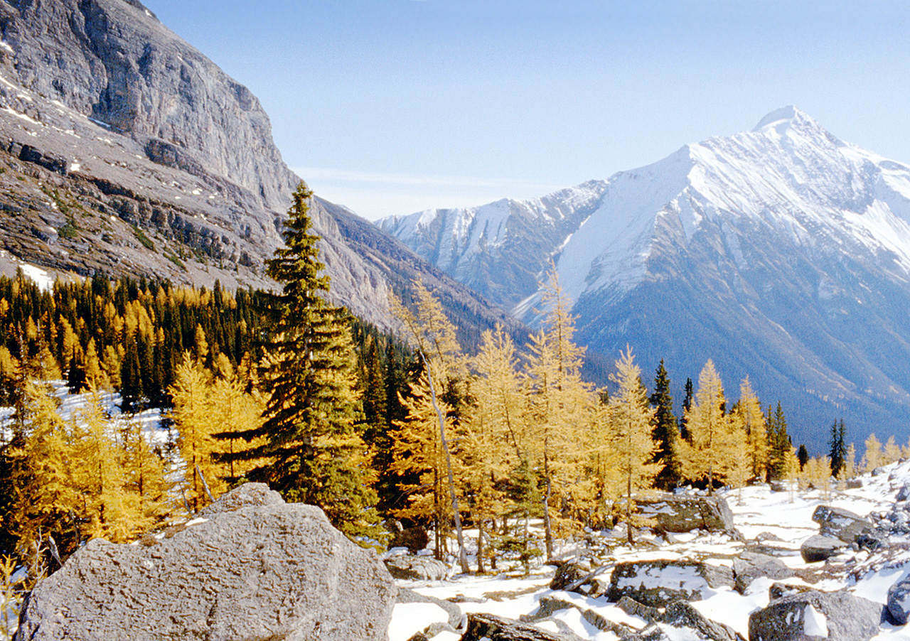
Gallery containing mountains and scenery (public domain) photos from the Canadian National Parks – Western Canada. The vast majority of mountains in Canada lie in the western provinces of British Columbia and Alberta and the Yukon Territory. Mountains can be found all over British Columbia while those in Alberta are mainly concentrated on the eastern side of the Canadian Rockies.
McArthur Lake is located in Northern Ontario, about 40 km south of the city of Timmins. It is located about 10 km south southeast of Papakomeka Lake. The lake consists of 13 islands, three main peninsulas and three main bays. The lake lies in Timiskaming District. Over 20 camps and cottages are built on the west side of McArthur Lake. Popular sports here include fishing for pickerel (walleye) and Northern pike as well as kayaking or boating.
Kicking Horse Pass is a high mountain pass across the Continental Divide of the Americas of the Canadian Rockies on the Alberta/British Columbia border, and lying within Yoho and Banff National Parks. A National Historic Site of Canada, the pass is of historical significance because the main line of the Canadian Pacific Railway was constructed between Lake Louise, Alberta and Field, British Columbia using this route in 1880s, in preference to the originally planned route through the more northerly Yellowhead Pass.
Due to frequent accidents and expensive helper engines associated with railroading in the pass, the CPR opened a pair of Spiral Tunnels in 1909 that replaced the direct route. Although these tunnels add several kilometres to the route, the ruling grade was reduced to a more manageable 2.2 percent. The Trans-Canada Highway was constructed through the pass in 1962 following essentially the original CPR route. It reaches its highest point at the Kicking Horse Pass with an elevation of 1,643 metres.
Banff National Park is Canada’s oldest national park, established in 1885 in the Rocky Mountains. The park, located 110-180 km (68-110 mi) west of Calgary in the province of Alberta, encompasses 6,641 km2 (2,564 sq mi) of mountainous terrain, with numerous glaciers and ice fields, dense coniferous forest, and alpine landscapes. The main commercial centre of the park is the town of Banff, in the Bow River valley.
Since the 1960s, park accommodations have been open all year, with annual tourism visits to Banff increasing to over 5 million in the 1990s. Millions more pass through the park on the Trans-Canada Highway. As Banff is one of the world’s most visited national parks, the health of its ecosystem has been threatened. In the mid-1990s, Parks Canada responded by initiating a two-year study, which resulted in management recommendations, and new policies that aim to preserve ecological integrity. Throughout its history, Banff National Park has been shaped by tension between conservation and development interests.
The Tower of Babel is the quartzite spire rising 1500 feet above the North end of Moraine Lake. First climbed in 1957, this tower provides stunning views of Moraine Lake and the Valley of the Ten Peaks. The quartzite rock of the tower provides great climbing and is a nice change from the rubble of the surrounding peaks.
Wapta Mountain (9,114 feet) is a mountain located in the Canadian Rocky Mountains between Emerald Lake and Yoho Valley in Yoho National Park, British Columbia, Canada. It stands just north of the ridge containing the Burgess Shale fossil beds. Along with The Vice President and Mount Burgess, Wapta Mountain forms the backdrop to Emerald Lake, and marks the southern end of the President Range.
In 1901, James Outram and J. H. Scattergood, and their guide C. Bohren, became the first people to ascend Wapta Mountain. Wapta Mountain overlooks Takakkaw Falls (1,247 feet), the second tallest waterfall in western Canada. The word “Wapta” means “running water” in Cree.
